Minor Irrigation Schemes are eminently suitable for the State due to the undulating topography of Goa, which does not have vast continuous stretches of land to permit flow irrigation. The systematic program of development of minor irrigation tanks, bandharas, canals, lift irrigation has been vigorously undertaken since the State came under intensive drive in expanding irrigation facilities, with the setting up of a separate Department in 1980. Till today, an irrigation potential of 21622 has been created under the minor irrigation sector as against 7860 Ha. at the time of liberation.
The irrigation potential under minor irrigation is both by surface water and by ground water. The Water Resources Department is implementing various schemes such as irrigation wells, tanks, lift irrigation schemes, bandharas, to bring maximum area under minor irrigation. The Department is also encouraging the farmers for construction of open wells/bore wells under the subsidy scheme.
The M.I. Tanks constructed by the Water Resources Department are not only facilitating the irrigation in hinterland, but also augmenting rural water supply. Rise in ground water table is observed in the vicinity of such schemes.
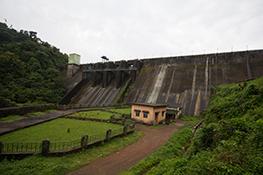
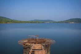
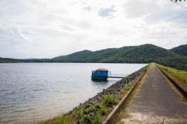
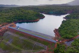
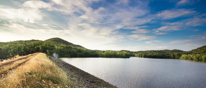
The M.I. Tank at Panchwadi in Mhaisal Village, in Ponda Taluka is catering water for irrigation as well as for water supply through Public Works Department to the nearby villages.
LOCATION
- Site of Dam:Longitude 150 17’ 30†and Latitude 740 5’ 0â€
- State:Goa
- Taluka:Ponda
- Village:Mhaisal
SALIENT FEATURES
- Average Monsoon rainfall:3689.7 mm.
- Dependable rainfall at 50% of monsoon rainfall:3791.0 mm.
- Catchment area at site:4.13 km.
- Nature of catchment:Average Forest
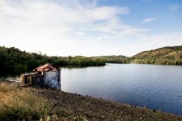
- Submergence area:53.00 Ha.
- Total yield at site:1165 H.M.
- Capacity at sill:10.28 H.M.
- Capacity at full tank level (FTL):44709 H.M
- Type of dam:Earthen Dam (Homogeneous)
- Length of earthen dam at crest:230 M
- Maximum height of dam:20.00m above deepest bed level
- Maximum flood discharge as per inflis formula (metric):80.00 cumecs
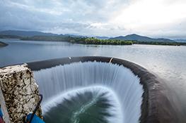
- Flood lift over weir:1:2 MTS
- Length of waste weir:34.00 MTS
- Standard levels of project:Sill level-14.70 R.L, Full tank level 26.00 R.L.
- Maximum water level:27.20 R.L.
- Top of Dam level:29.20 R. L.
- Position of slucies Head Regulator (well type):Chainage 93.00 M from right abutment
- Irrigation canal:Right bank main canal 3.4Kms. long
- Gross, Command:200 hectares
- Cultivable Command:150 hectares
- Canal Discharge:0.412 hectares